|
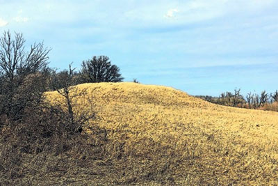
This ancient burial mound south of Darlingford is the landmark most frequently mentioned in early records of southern Manitoba.
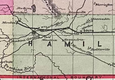
This site is one of the most significant ones on the Boundary Commission Trail, at the point where the Hunter Trail from Winnipeg, the Boundary Commission Trail from Emerson, and the exit of the Cart Trail to the north-west came together.
Human settlement in this part of Manitoba can be traced to at least the 8th century AD. Research at Calf Mountain, a mound builder site, indicated its use as a burial site from the 8th to the 15th century.
Numerous indigenous peoples have left their mark on the area. The mound is frequently mentioned in early records of southern Manitoba. In addition to copper from Michigan and shells from the Gulf of Mexico and Vancouver Island, more than 20 skeletons in a sitting position have been uncovered.
http://www.mhs.mb.ca/docs/sites/calfmountain.shtml
Credits: Al Thorleifson
It is at the point where the Hunter Trail from Winnipeg, the Boundary Commission Trail from
Emerson, and the exit of the Cart Trail to the north-west came together.
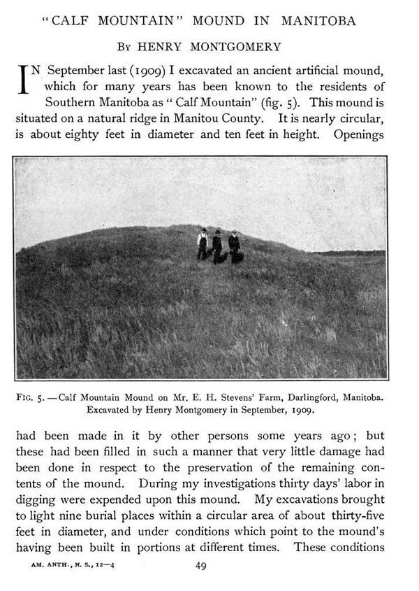
The mound was excavated by Henry Montgomery in 1909.
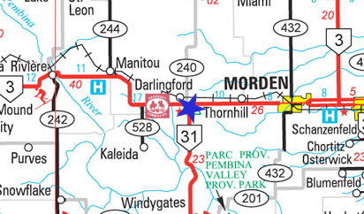
27. CALF MOUNTAIN 5-3-7w, Pembina Municipality
This ancient burial mound is the landmark most frequently mentioned in all the early records of southern Manitoba. Visited by Alexander Henry the Younger in 1806, he often refers to it in his journals as "Tete de Bouef." Half a century later, Palliser dubbed it "Beef Lodge" and noted it as "a very curious hill". Pioneers attributed its construction to the extinct race of Mound Builders and opened it several times during the first years of settlement to uncover some clues as to the fate of its builders. Another attempt to dig into it in 1886 was stopped due to the protests of the local Indians. In the fall of 1908 Prof. Henry Montgomery of the University of Toronto carefully excavated it. In addition to copper beads from Michigan and engraved shells from the Gulf of Mexico, more than 20 skeletons buried in a sitting position were uncovered.
Site Coordinates (lat/long): N49.18094, W98.38606
For more info visit the Pembina Manitou Archive
https://pembinamanitouarchive.ca/