Contents
Photos
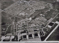
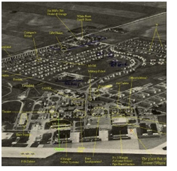
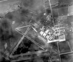
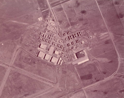
1. Overviews: Maps, Plans and Aerial Images
A. Base Plans
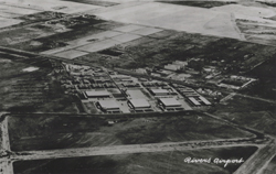
1. Plan of the base as it was developed from 1940-45
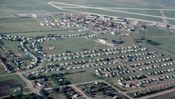
2. Plan of the PMQ Development
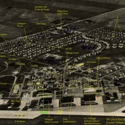
B. Aerial Images
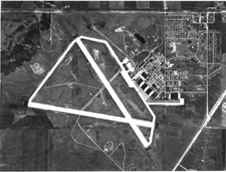
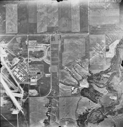
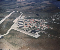
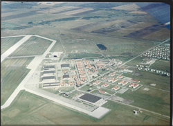
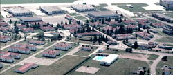
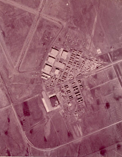
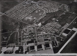
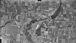
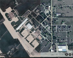
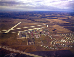
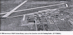
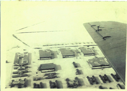
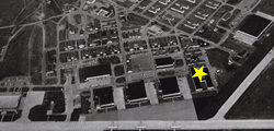
A series of aerial photos from various angles from its wartime inception to 1967
1
4
7. 1945
10. PMQ's
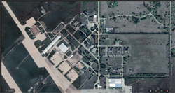
13. Google Earth
16. 1967
19.
2
5
8. 1964
11. Region
\
14. GE 2
17. 1964
20. Sites
3
6
9. Sites Identified
12
15. 1964
18. Hangars
21. GIS Building