Chapter 4: Climate
Only a few aspects of an area’s climate show up on remotely sensed images, for example, the distribution of snowfall. However, air photos do show several of the effects of, and responses to, climate such as the construction of shelterbelts to protect against the wind.
4.1: Winter Landscape South of Rivers
Most air photographs are taken during the summer half of the year, but this early winter photo illustrates the usefulness of photos taken when there is snow on the ground. The photo shows the Little Saskatchewan River in the north 1, very dark-toned because it is not yet frozen. The Rivers Dam 2 can be seen near the top of the photo, with frozen
Agricultural land is snow-covered and appears very light-toned, with hummocks in the underlying land producing a bumpy appearance 5. In places harvesting patterns can be seen 6. In contrast, wooded land is dark-toned 7. The deciduous trees, without leaves at this time of year, throw long shadows easily picked out on the snow-covered fields 8. Route ways on the photo include PTH 25 in the north 9 with a dark-toned bare surface because of traffic use. In contrast a less used north/south secondary road 10 is snow-covered. The CN railway line 11 roughly parallels PTH 25. A gravel pit is located in the northeast 12.
[[fig. 4.1]]
4.2: The Assiniboine River and Valley Near Fort Ellice in Late Winter
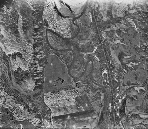
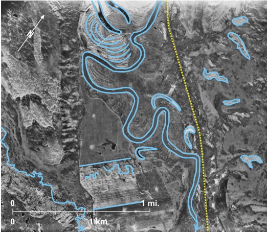
This late winter photograph illustrates the usefulness of a light snow cover in picking out minor relief features. The Assiniboine River 1 meanders southwards across the area. It has left behind meander scars, particularly noticeable where woodland has been removed 2, and also a series of abandoned channels 3, 4, 5, 6 which tend to collect snow. The river flows in a steep-sided, flat-floored spillway, the east side of which is dissected by gullies that collect snow 7, 8, 9, 10, 11. A small stream with a steep-sided valley 12 flows southeast to join the
The linear feature on the east side of the Assiniboine Valley 16 is the CN railway line built just above the flood plain.
[[fig.4.2]]
4.3: Light Dusting of Snow in Palaeochannel Area North of Portage la Prairie
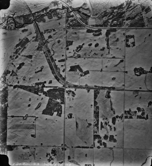
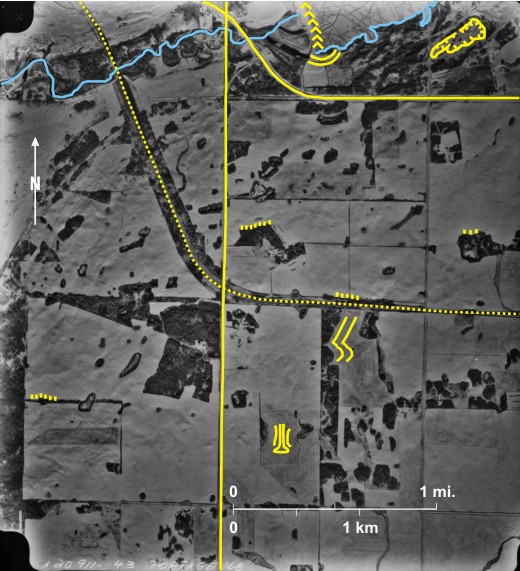
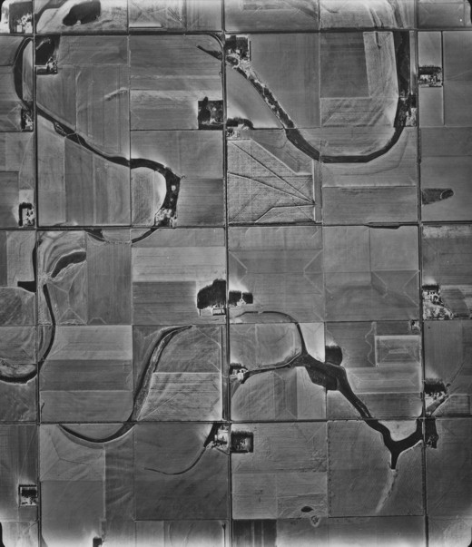
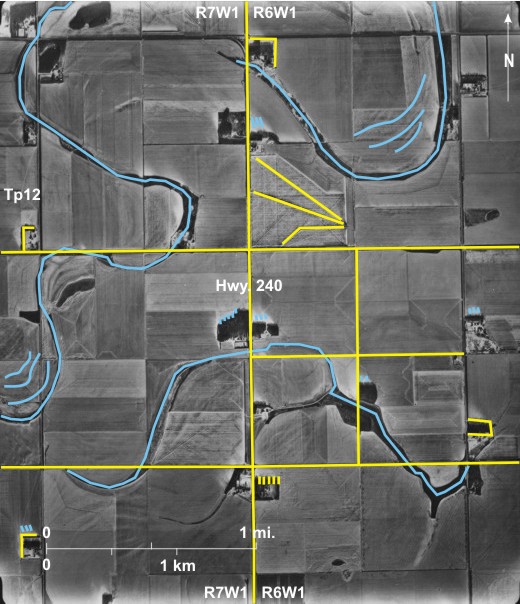
This early winter photo shows two abandoned river channels 1, 2 meandering across a flat plain. A light dusting of snow picks out some of the meander scrolls 3, 4. It also emphasizes the harvesting pattern in several fields 5 including an unusual arrangement in one of them 6. Farm buildings on this open plain have tree shelterbelts on the north side at least 7. The trees throw long shadows that indicate that they are deciduous 8—without leaves at this time of year. Rather surprisingly snow drifts near shelterbelts 9 indicate that recently wind was from the southeast. Section lines 10 and quarter section lines 11 are obvious. As usual farms 12 are located along section lines.
[[fig. 4.3]]
4.4: The Souris Valley West of Lauder in Autumn and Spring
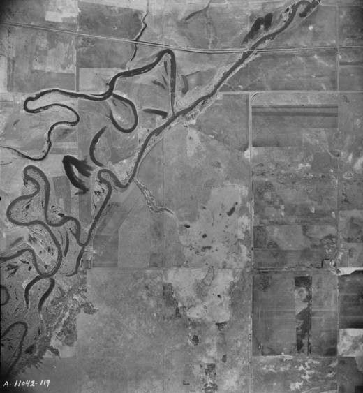
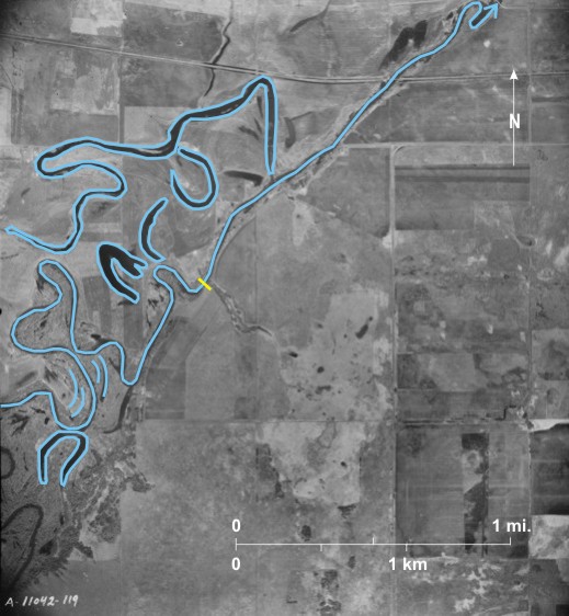
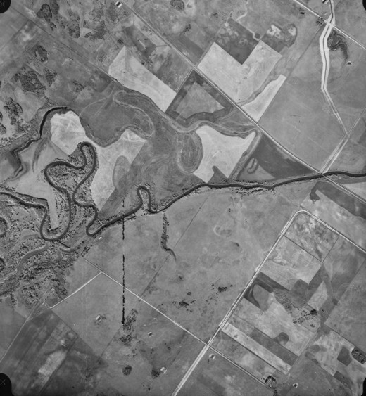
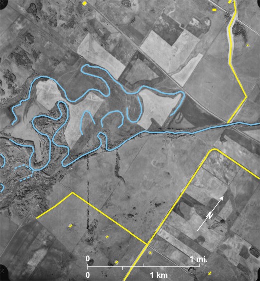
The two photographs show the same stretch of the
Also the photo in figure 4.4b was taken several years before photo in figure 4.4a so changes in the landscape can be observed:
1) a drainage ditch 7 has been constructed on figure 4.4a.
2) several dugouts 8 have been constructed on figure 4.4a.
3) gravel roads have been constructed 9 or improved 10 on figure 4.4a.
Note also, the orientation of the photo in 4.4a is unusual in that the sides are not east/west and north/south. It is part of a sequence of photos taken along the course of the
[[fig.4.4.a]]
[[fig.4.4.b]]
4.5: Field Shelterbelts North of Lyleton
During the 1930’s drought, soil erosion was severe in this dry flat area in the extreme southwest of
From the earliest days of agriculture in the area, shelterbelts were built around farm buildings 2. A new strategy in response to the drought was the planting of field shelterbelts in north/south 3 or east/west 4 lines with trees brought from the tree farm at Indian Head in Saskatchewan. Farmers were also given grants for small-scale water projects such as the construction of dugouts 5 and small dams 6 to capture spring runoff. Gainsborough Creek 7, that flows west to join the Souris River (off the photo), is intermittent in this area and more a series of ponds 8—probably dam-created for water supply—rather than a continuous river. As is usual, roads follow section lines 9, and in two cases they are relatively newly constructed 10.
[[fig. 4.5]]
4.6: Responses to Climate in the Souris Valley West of Souris
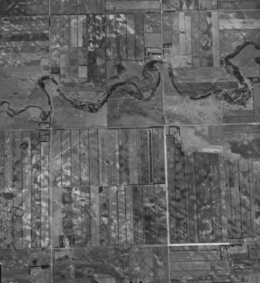
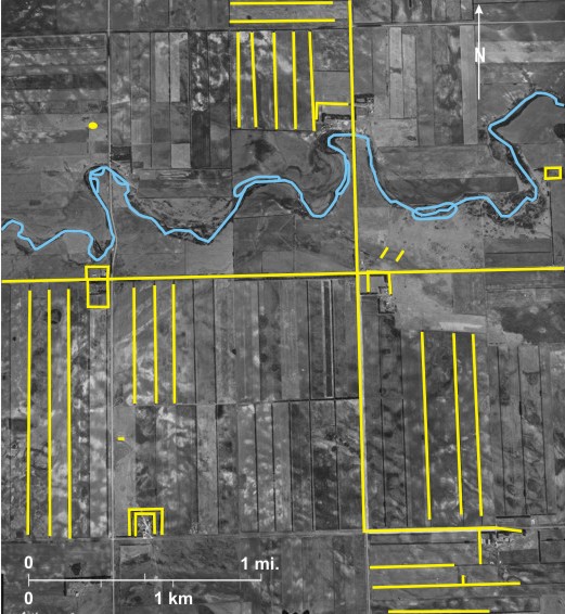
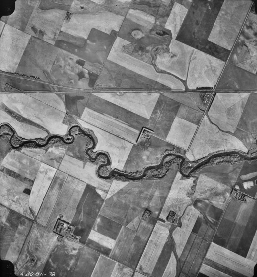
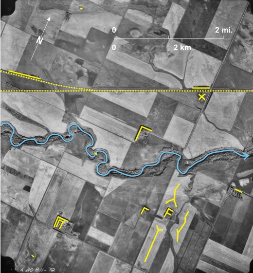
The Souris River 1 flows west to east through the area that is flat and windswept. A standard response is to plant trees around farm buildings 2. In one location trees 3 protect both the CP railway line 4 and a farm to the south 5. Another row of trees protects the line further west 6, just west of a railway junction at Schwitzer 7.
All the land apart from the wooded banks of the
[[fig. 4.6]]
4.7: The Little Saskatchewan River and Its Valley North of Elphinstone in Late Winter
The photo shows the upper reaches of the Little Saskatchewan River 1 flowing south from
Some of the land has been cleared for agriculture, but because of the hummocky terrain and thin soils woodland remains 7. On the agricultural land harvesting patterns from the previous year can be seen 8, and several fallow fields exhibit the characteristic light-toned crests 9. The route ways in the area are gravel roads often influenced by the terrain to digress from the DLS grid 10. One road crosses the Little Saskatchewan River 11, and in the north a path traverses the river 12, but it is flooded at this time.
[[fig. 4.7]]
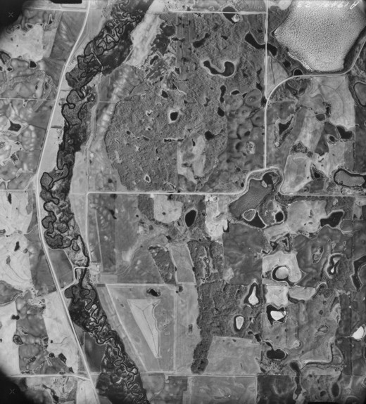
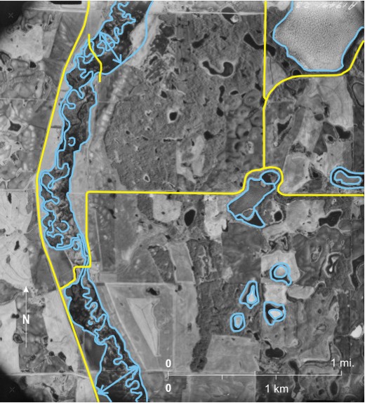
4.8: Frozen Lakes and Snow Distribution in Early Winter in Central Manitoba
This early winter Landsat 1 image shows clearly the distribution of snow and ice over parts of central
[[fig. 4.8]]
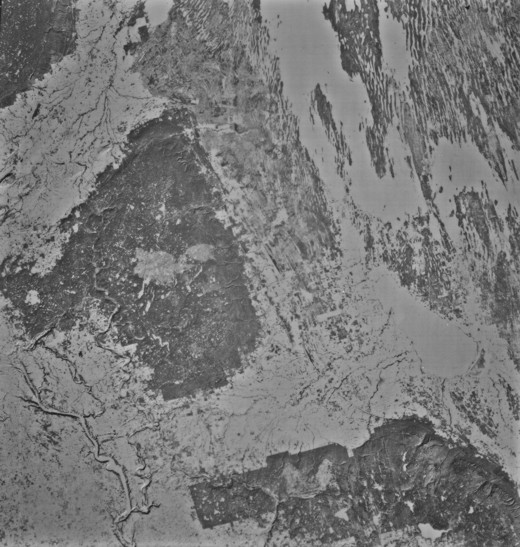
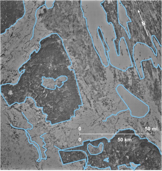
4.9: Frozen Lakes in Early Winter Near the Northern Settlement of Lynn Lake
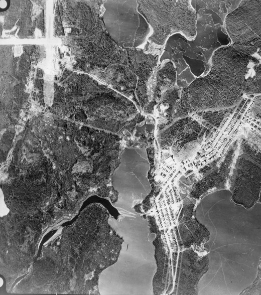
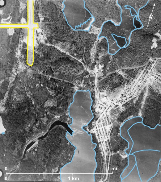
This October photo of an area near the mining settlement of
This area lies within the coniferous forest vegetation zone.[i] Long pointed shadows are thrown from coniferous trees on to the ice in several locations 13. The directions of the shadows—almost due north—indicate that the photo was taken near noon. Within
4.10: Ice Distribution on Lakes of Central and Southern Manitoba in Late Spring
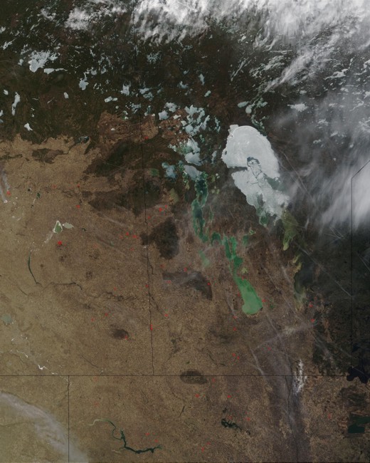
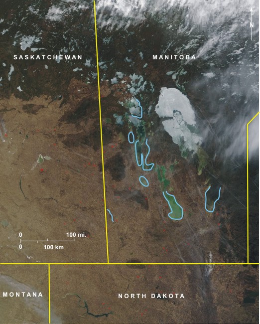
In this late spring image, ice has melted from the lakes of southern
[[fig. 4.10]]