by W. B. Yeo
Kootenay Lake Historical Society
|
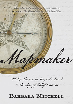
Barbara Mitchell, Mapmaker: Philip Turnor in Rupert’s Land in the Age of Enlightenment. Regina: University of Regina Press, 2017, 327 pages. ISBN 978-0-88977-503-9, $39.95 (hard cover)
 Barbara Mitchell’s Mapmaker is almost two books in one. Her discovery of family connections who shared Cree ancestry and a distant link to Philip Turnor, the 18th century surveyor, cartographer and fur trader, is one story. In 1781, Turnor and a Cree woman were married at Moose Fort, in the fashion of the country. A son, Joseph, was born the next year, the founder of the Canadian family. Turnor returned to England in 1792 in poor health and died there in 1800. The other story is about the author’s intent to learn all she could about Philip Turnor himself, and one result is this very readable biography.
Philip Turnor was brought to Rupert’s Land at a time when the Hudson’s Bay Company felt the need for more scientific mapping of its vast territory. The Company had begun to establish inland trading establishments to counter unwelcome competition, particularly from Montreal merchants. It needed more and better maps, based on geographical knowledge supported by astronomical observation, like those produced after Captain Cook’s voyages. Turnor was no worldwide explorer, but an English farmer, albeit a “well-schooled” one, with a knowledge of mathematics and astronomy. Exactly how he was recruited and trained is unclear, but the author offers a plausible explanation.
During those initial years in the wilderness, Turnor saw that the Company would need others like him to map the full extent of its lands. He trained two apprentices who later became well-known as mapmakers: David Thompson and Peter Fidler. These names were (and hopefully still are) familiar to anyone who attended high school in western Canada. The author grew up in High River, Alberta, situated on the Highwood River. She relates how Fidler visited what is now southwestern Alberta in the early 1790s, recording not only natural features but Indigenous names for them as well. These details had been sent by Fidler to Turnor, who recorded them on a 1794 map.
Driving south on Highway 22 on a spring morning, it is worthwhile looking out for the particular shape of Chief Mountain. It is just south of the international boundary and appears to stand in the lead of the Rocky Mountains as they swing slightly to the east. In Fidler’s notes, it is the King, or Chief. In local Indigenous languages, it is “the mountain that leads all the others.” The mountain itself is considered sacred, and access is restricted.
This book was written by a university teacher of English literature, the author of a two-volume biography of W. O. Mitchell. Her style of writing differs from the more orthodox writings on the history of exploration and mapping in Canada. She did her homework though. The text is supported by footnotes, a chronology, and a bibliography. What may raise eyebrows is her “two narrative voices”: one reflecting Turnor’s own voice, and the other, her “dramatizing” of Turnor’s words. Mitchell explains the two voices in an Author’s Note. Most readers will find the effect engaging.
This volume is published by the University of Regina Press. The price on the dust jacket is $39.95, which today is reasonable for a book of this quality. There are maps, photographs and other images throughout. Some of the historic maps, reduced from large formats, did not turn out well. The Hudson’s Bay Company Archives holds many early maps of the region, some of which are huge. Plate 8 at the beginning of the book shows Turnor’s 1794 map being admired by the author, her arms held out in wonder.
We thank Clara Bachmann for assistance in preparing the online version of this article.
We thank S. Goldsborough for assistance in preparing the online version of this article.
Page revised: 8 April 2021
